CORS network
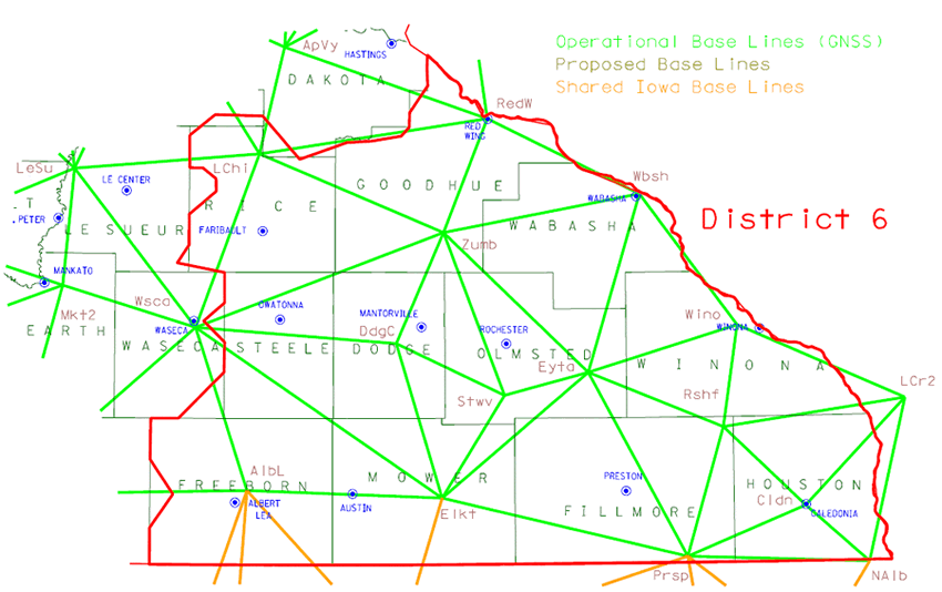
The Continuously Operating Reference Station Network is a cooperative effort between MnDOT, other state agencies and institutions, counties, cities and private enterprises with the goal of providing GPS corrections state-wide. It provides accurate positioning utilizing GPS augmentation. Questions? Contact the MnCORS administrator at [email protected]
- MnCORS registration, data access and user management website
- Registration help for new users (PDF 0.5 MB)
Maps
- Duluth, District 1
- Bemidji, District 2
- Brainerd, District 3
- Detroit Lakes, District 4
- Rochester, District 6
- Mankato, District 7
- Willmar, District 8
- Metro District
- State map


