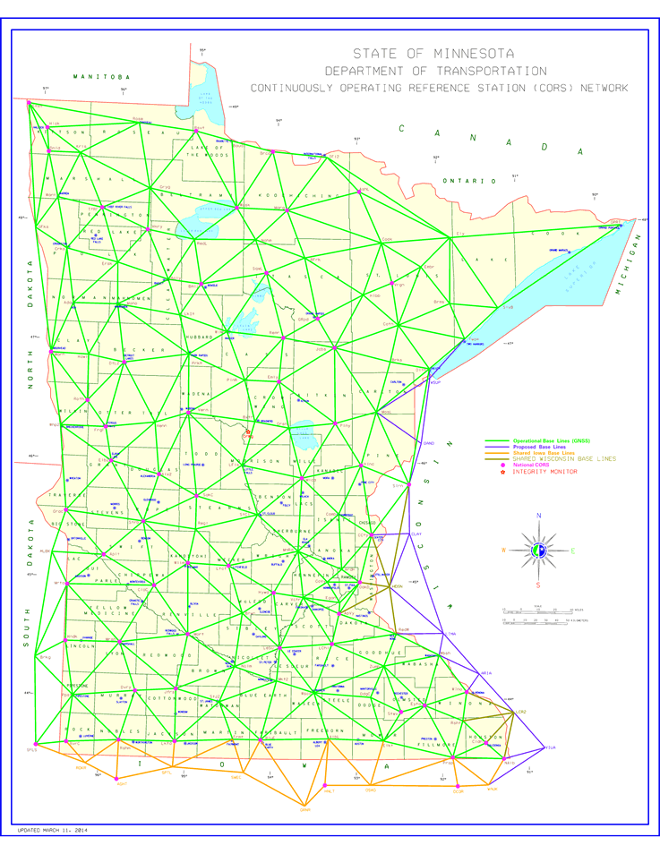
MnCORS GNSS Network
The Continuously Operating Reference Station Network is a cooperative effort between MnDOT, other state agencies and institutions, counties, cities and private enterprises with the goal of providing Global Navigation Satellite System (GNSS) corrections state-wide.
Using signals from all available GNSS satellites, and receivers at over 140 known positions, MnCORS is able to continuously provide survey grade positioning corrections. Questions? Contact the MnCORS administrators at [email protected]
- MnCORS sensor map
- MnCORS registration and user management website
- Registration help for new users (PDF 0.5 MB)
- MnCORS resources and contact information


