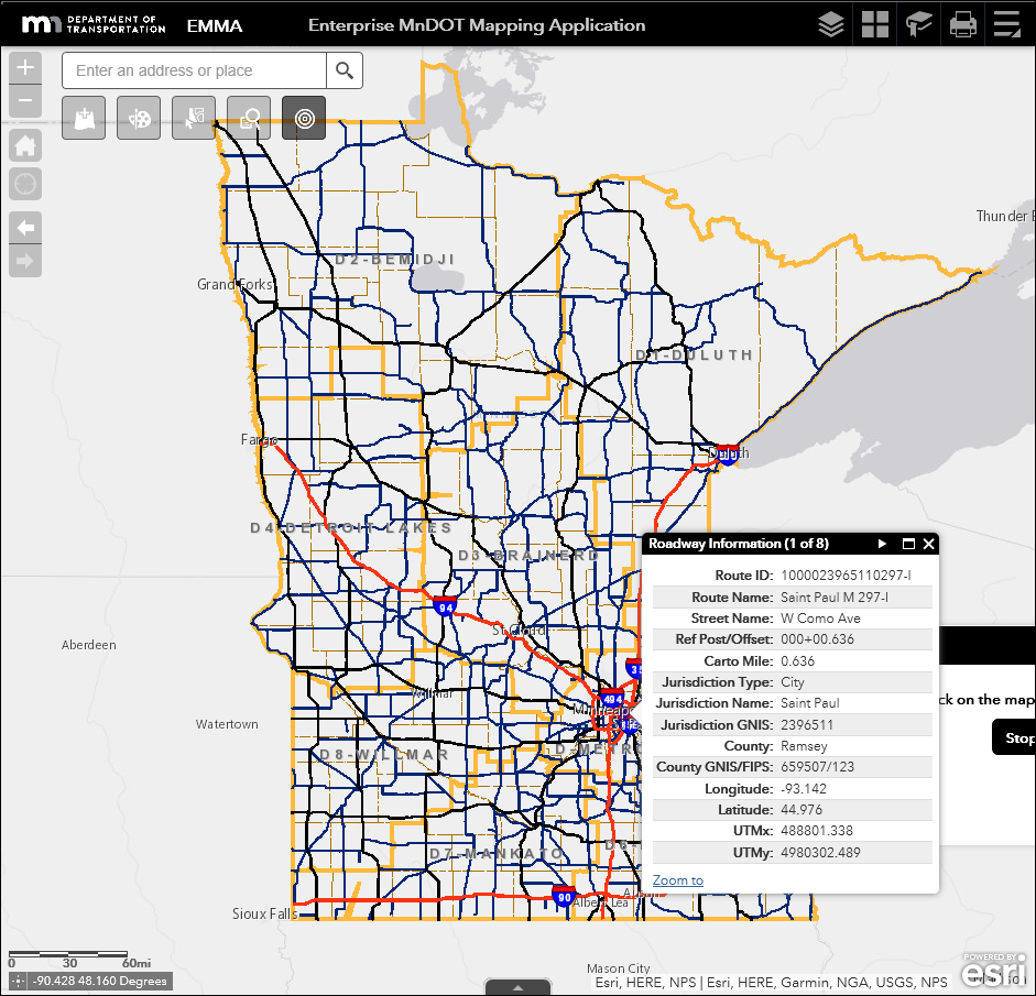
Enterprise MnDOT Mapping Application

The Enterprise MnDOT Mapping Application (EMMA) references the most current version of Linear Referencing System (LRS) data. The LRS is a suite of Esri tools to manage and maintain route location information and roadway characteristic data. The data in this application is updated every weekend keeping current with the latest changes entered into the LRS.
- EMMA should not be used to determine the begin and end points of a construction project, the Roadway Project Mapping Application (RPMA) should be used for that. RPMA is similar to EMMA but the data only updates once per year to match a federal data submittal called HPMS.
- EMMA is supported in Internet Explorer and Google Chrome browsers.
Resources
Contact
Peter Morey
[email protected]
651-366-3872
Use of this document is subject to MnDOT's disclaimers, legal notices, and policies.
